
Modeling, simulation, training, and mission rehearsal activity have evolved to support combined arms and unit training with federations of disparate simulation runtimes. The challenge for environmental generation is to support fully correlated and detailed content across both traditional visual and constructive simulation and rapidly emerging serious game runtimes.
The technology challenge is in representing detailed geo-specific content in each of the runtimes. It is no longer sufficient to simply produce a single visual output to be loaded into each simulation. Content correlation requires addressing the specific object and model representations in each of the runtimes. TerraTools® achieves correlation by compiling geospatial source data into a common intermediate representation, preserving source data attribution, and then exporting the environments using runtime-specific processing.
Whether performing direct source data to runtime publishing or compiling runtime environments, end-users expect that the best overall set of source data layers, consistent and up-to-date, will be utilized in their simulation systems. However, the rapid increase of raw and unprocessed geospatial source data presents new challenges for environmental generation. In modeling, simulation, and training applications, these challenges are further compounded by the variety of simulation and training runtimes, each containing its own set of source data requirements. Constructing a simulation database with inadequate source data not only decreases the accuracy and utility of the end-user training but also increases the risk of time-consuming complications during database production. In this Image of the Month, TerraSim highlights its source data preparation products, which address the rapid production of effective and usable geospatial data.
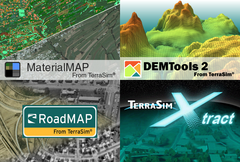
Source data preparation is often viewed as the production of GIS data using standard commercial products developed for the mapping, environmental, remote sensing, and civil engineering communities. TerraSim has developed products, based upon a strong grounding in modern cartographic data production, which are tailored to the unique requirements of the modeling and simulation community. This means that the source data process flow is designed to produce fully attributed source data in standard COTS interchange formats that reflect the requirements of modeling and simulation runtimes. Our four source data preparation products (MaterialMAP, DEMTools, RoadMAP, and Xtract) each reduce the time and cost associated with database generation and are tailored to modeling and simulation content requirements. MaterialMAP uses aerial and satellite imagery to create and classify ground surface materials that are required in serious game runtimes. DEMTools merges, refines, and manipulates disparate digital elevation data into a single consistent DEM for large area simulations. RoadMAP uses aerial and satellite imagery to generate road networks with topology and attribution tailored to modeling and simulation. Finally, Xtract supports source data reuse from legacy simulation runtimes by extracting vector data, DEMs, imagery, and legacy models, and transforming them into modern runtime formats.
Questions or comments?
Send Email to The IMAGE Society
(IMAGE@IMAGE-Society.org).
Copyright © 2012
The IMAGE Society, Inc.
All rights reserved.